Navionics+ Preloaded Chart of All USA/Canada -Marine & Lakes- microSD™
| Manufacturer | Navionics | |
| MFG NO | MSD/NAVPLUSNI | |
| SKU | 5931061 | |
| UPC | 821245975119 |
- SUMMARY
- SPECIFICATIONS
- MANUFACTURER
- REVIEWS
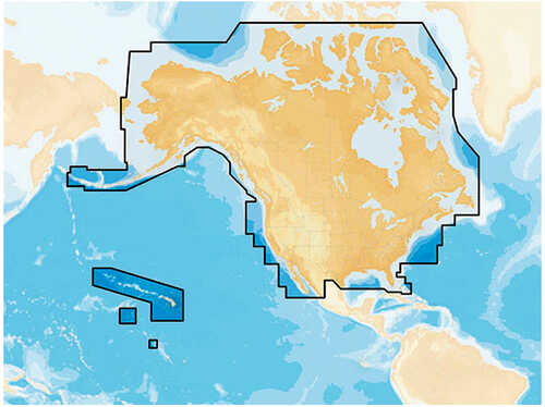
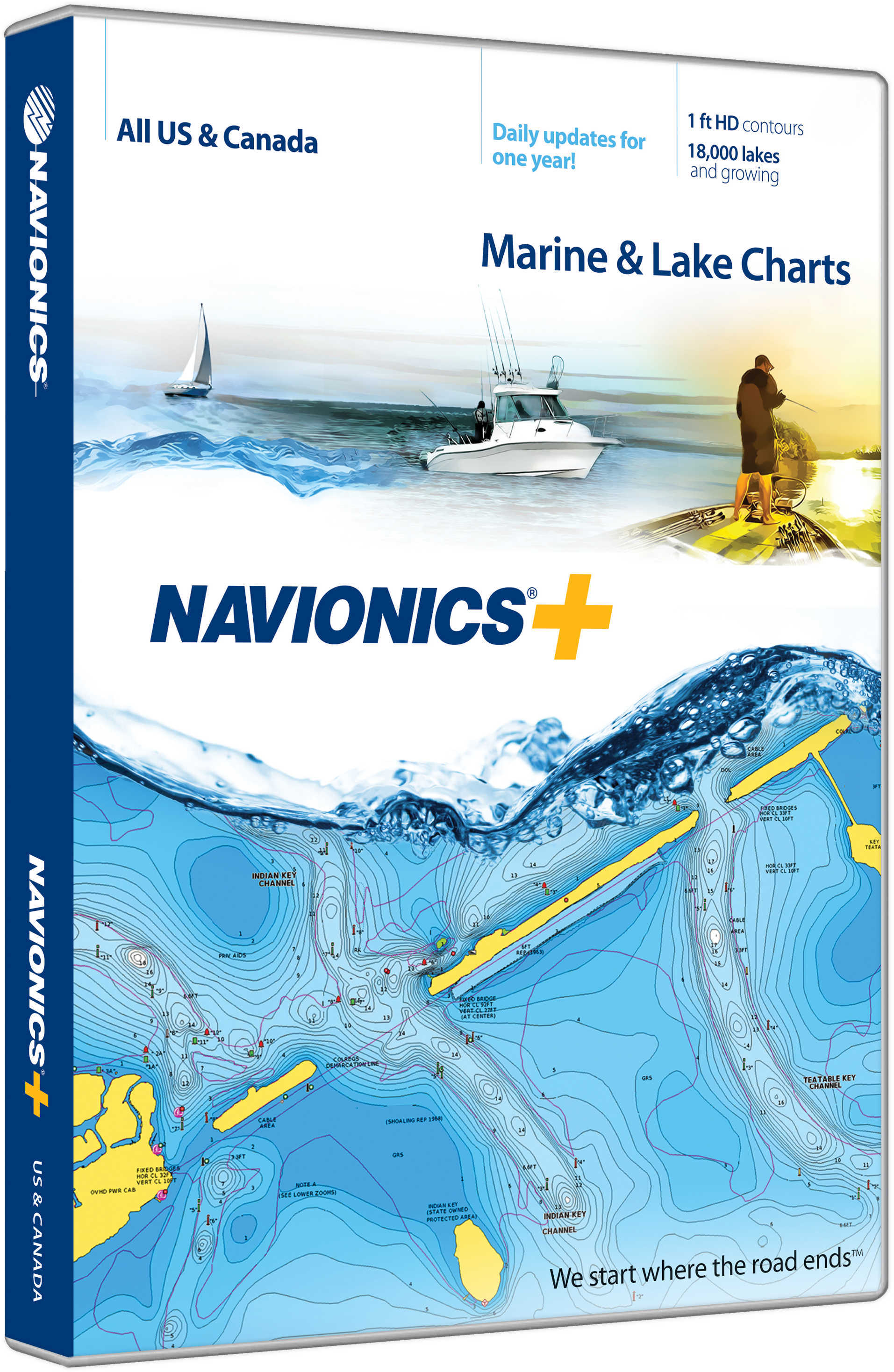
Navionics+ NAV+NI: Preprogrammed with All US & Canada - Marine & LakesMarine and lake chartsOne foot contours inshore and nearshore21,000 lakes and growingDaily updates and advanced features for one yearBoat safer and fish smarter. Max-detailed cartography for marine and lakes that is updated daily, makes Navionics+ the perfect choice for cruising and fishing. Get Nautical Chart, the most accurate navigational data; SonarChart™, an exclusive 1 ft HD bathymetry map; and Community Edits, local content from the community. Daily updates and advanced features are included for one year. Simply plug your card into your PC/Mac and register at navionics.com. USB reader provided.Preloaded with Nautical Chart; SonarChart™ & Community Edits are downloadable.Enjoy advanced features: SonarChart™ Live, Advanced Map Options and Plotter Sync.Enhance SonarChart™ with sonar logs you collect.Check out Navionics Compatibility Guide.
| Specification | Value | |
|---|---|---|
| MFG NO | MSD/NAVPLUSNI | |
| SKU | 5931061 | |
| UPC | 821245975119 |
| Navionics | ||
| Phone: | ||
| Email: | ||
| Website: | http://www.navionics.com/en | |
| Address: |
, |
|

|
Standard Laminated Fast Fold Delacroix Island Md#: M302The Fast Fold Maps Fold neatly Into 8 1/2 X 11 Inch StandardPaper Size. |
||
|
|
|||
|
|||

|
Standard Laminated Fast Fold Chef Pass/Rigolets Md#: M307The Fast Fold Maps Fold neatly Into 8 1/2 X 11 Inch StandardPaper Size. |
||
|
|
|||
|
|||

|
Standard Laminated Map Breton Sound & Delacroix Island Md#: M04724” X 36” Full Color Aerial Photo Maps Are Laminated. |
||
|
|
|||
|
|||
Navionics+ Preloaded Chart of All USA/Canada -Marine & Lakes- microSD™
Navionics+ NAV+NI: Preprogrammed with All US & Canada - Marine & LakesMarine and lake chartsOne foot contours inshore and nearshore21,000 lakes and growingDaily updates and advanced features for one yearBoat safer and fish smarter. Max-detailed cartography for marine and lakes that is updated daily, makes Navionics+ the perfect choice for cruising and fishing. Get Nautical Chart, the most accurate navigational data; SonarChart™, an exclusive 1 ft HD bathymetry map; and Community Edits, local content from the community. Daily updates and advanced features are included for one year. Simply plug your card into your PC/Mac and register at navionics.com. USB reader provided.Preloaded with Nautical Chart; SonarChart™ & Community Edits are downloadable.Enjoy advanced features: SonarChart™ Live, Advanced Map Options and Plotter Sync.Enhance SonarChart™ with sonar logs you collect.Check out Navionics Compatibility Guide.
Manufacturer Navionics
Mfg No MSD/NAVPLUSNI
SKU 5931061
UPC 821245975119



| 0 | Total: $0.00 |

|